Additional services
Catering
In cooperation with Zlatni Lug Inn, we offer you well-prepared food, delivered to your table.
Zlatni Lug Inn
Guided day trips
If you want to see some of the nearby destinations, we can arrange a professional tour guide service for you.
Using bicycles
Bicycles are available upon prior arrangement. There is a limited number of bicycles, so availability check is required.
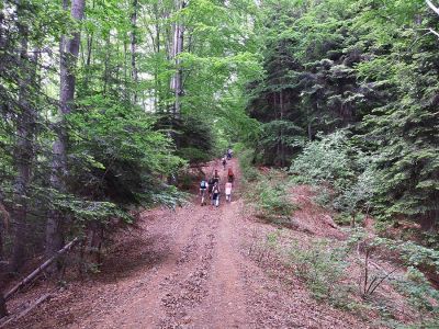
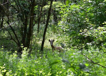
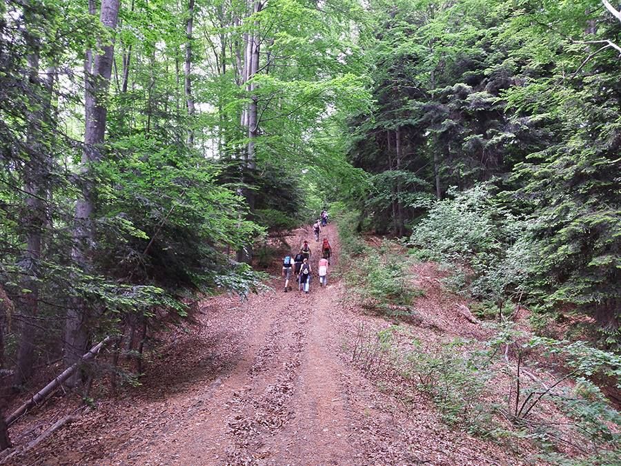
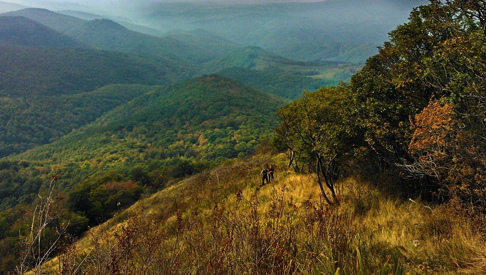
Hiking
It is possible to engage a professional mountain guide.
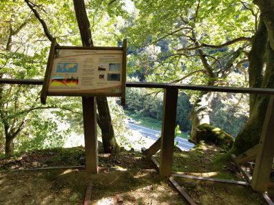
Nearby
Požega 38km
MapPožega Tourist Board Tourist Board of the Požega-Slavonia County
Kutjevo 42km
MapLipik 45km
MapVirovitica 52km
MapVirovitica Tourist Board Tourist Board of Virovitičko-podravska county
Orahovica 53km
MapDaruvar 57km
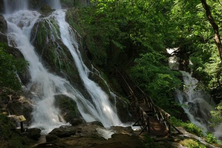
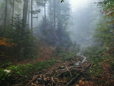
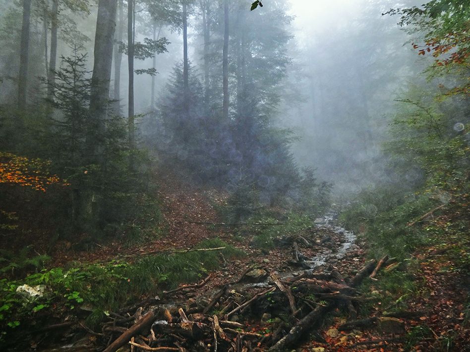
MapJankovac 37km
MapJankovac, one of the most beautiful mountain valleys, is situated on the northern slopes of Papuk, 475 m above sea level. It is rich in cold springs and
clear streams, surrounded by centuries-old beech trees of the Slavonian forest. Full of freshness and romance, it has always been appealing to every nature,
mountain, and peace lover. Due to the extraordinary natural beauties we can no longer find in Slavonia, Jankovac was proclaimed a protected forest park in
1955.
www.jankovac.hr

.jpg)
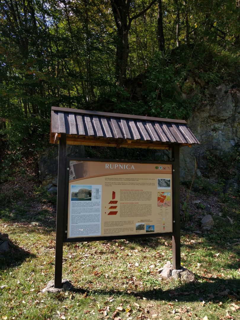
Rupnica 11km
MapDistance about 11 km. Only walking tour.
Rupnica is a unique geological monument of nature, southwest from Voćin. It is a very rare feature of columnar volcanic rock. The fast cooling rate of its surface causes cracks shaped in squares, pentagons and hexagons.
The locality is the first proclaimed geological monument of nature in Croatia.

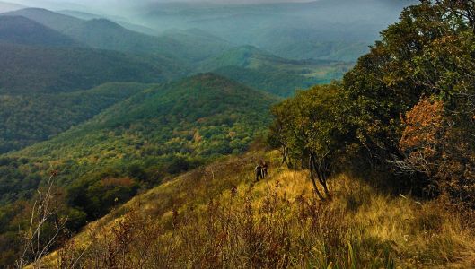
Crni vrh i Vrani kamen 6h
Map6-hour walking distance.
The second option is to go by car to Đulovec (approx. 36 km) and then take a 3-hour hike. Crni Vrh is the highest peak of the western part of the Papuk mountain, 865 meters above sea level. It is located between Vrani Kamen and Voćin. Further on the mountain route, towards Daruvar, there is a geological formation Vrani Kamen.
The top is rocky and therefore completely different from other peaks in Slavonia. At the top, there is a small shelter, built by CMA Petrov Vrh. Mountaineers will enjoy one of the most beautiful parts of the Slavonian hiking path.

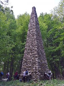
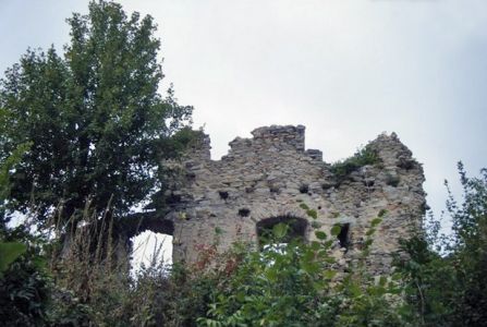
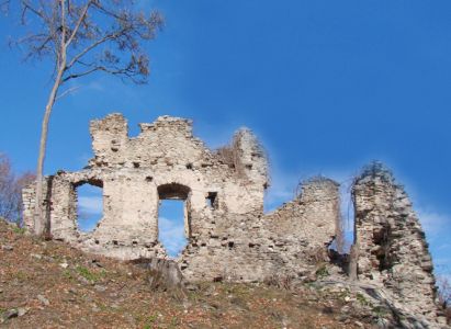
Kamengrad 3km
MapDistance 8 km, hiking route 3 km.
Kamengrad is a medieval fortress at the top of Papuk, 640 m above sea level, and extending over 1 hectare of land. It was built by the local noblemen, from the 14th until the 16th century. It was conquered by the Ottomans in 1536 and held for over 150 years. The fort was built on a cone-shaped, steep hill and was of military significance. It has been abandoned for the last 300 years and in the phase of natural decomposition. The influence of the atmosphere, the flora and fauna, devastate the walls, the stones ripple, and the fort is losing original contours.
There are many legends about the fort, and the most interesting one is about hidden gold. After being liberated from the Ottomans, a rumor spread around the surrounding villages about the gold hidden underneath the fortress. A brave man walked into the cellars and saw a snake with a crown on its head, lying on the gold. He got scared, took some gold and ran to a nearby village.
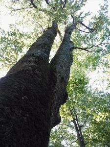
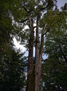
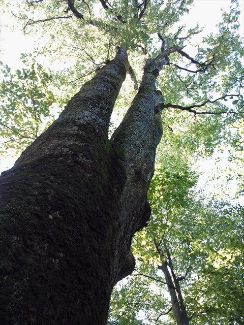
Stari hrastovi 4km
MapThe Giants of Papuk, over 400 years old, are the oldest living organisms in Slavonia. Atypical phenomenon within birch and fig community. Unfortunately, one of them was brought down by time.
Lisičine 23km
MapDistance about 23 km, a walking tour.
Lisičine Arboretum is located in the village of Lisičine, in the municipality of Voćin, in the middle of the Papuk mountain. It was opened in 1963 and plants have been grown since. It is rich in diverse species of trees and shrubs, including native species of Croatia and different species from all over Europe, Asia and America. Lisičine is the perfect place for relaxing walks, especially for those who love flowers and plants.
Sekulinačke Mountains 14km
MapThe special forest vegetation reserve, protected in 1966, is located in the part of Papuk which is most difficult to reach, around 800 m above sea level, on an area of 8 hectares. Distance approx. 14 km, more than half hiking. We suggest hiring a tour guide.
Svinjarevac 7km
MapThe locality is extremely rich in various types of moss, lichenes, and wormholes. Distance approx. 7 km, smaller part hiking. A tour guide needed.


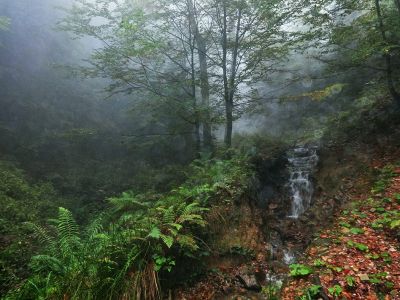
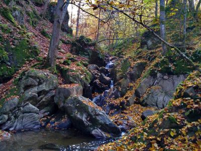
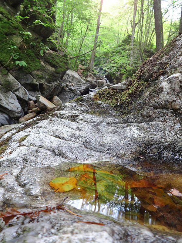
Vražji mlin 6km
MapA canyon with cascading waterfalls, where the stream Krajčinovica flows into Paleški Jarak. Distance approx. 7 km, partially by car, one part on foot.

Vrh Papuka 13km
MapPapuk is the highest peak of the Papuk mountain, which extends through Slavonia, Croatia. It is located at the boarder of Požeško-slavonska and Virovitičko-podravska county. It offers a unique view from the top onto the Golden Valley. Distance approx. 13 km. Depending on the route, more than half on foot. Guide not needed.

.jpg)
Aktivnosti
Cycling
Cycle the surrounding roads and paths, or ride one of the GPS marked paths nearby.
Aureus MonsHiking
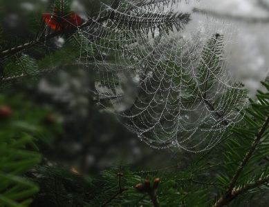
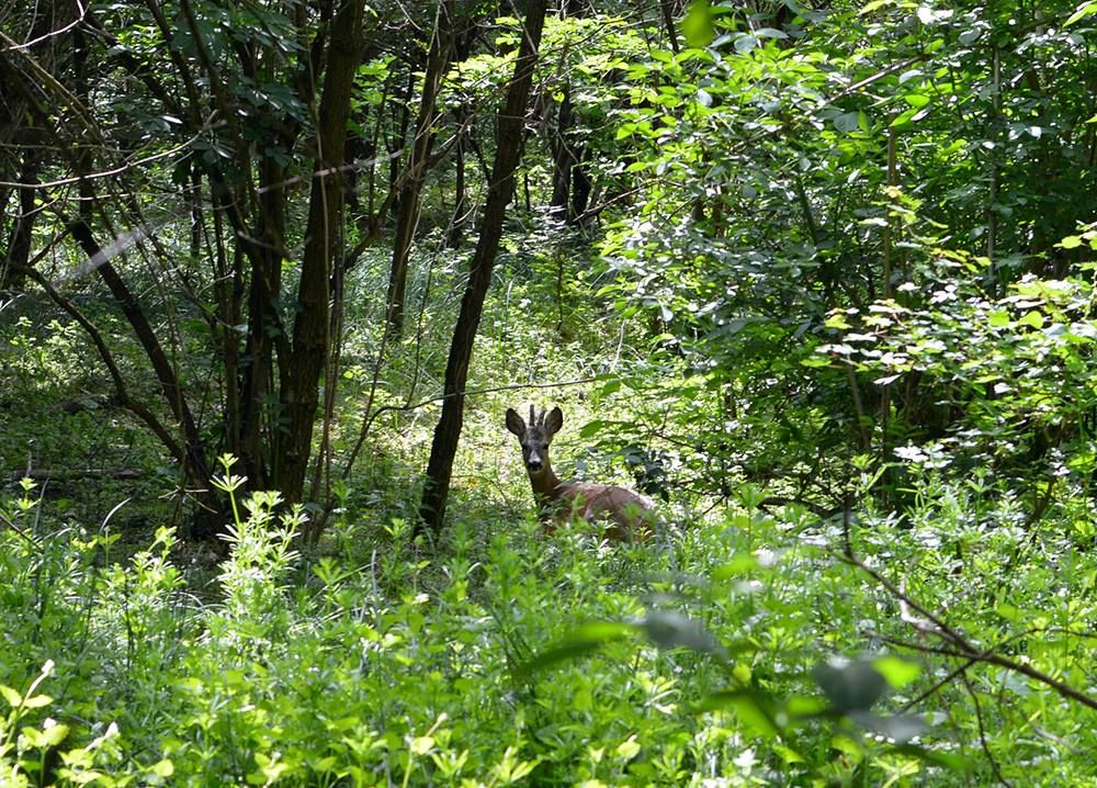
Nature park Papuk and the wider area are rich in hiking trails.
Aureus MonsFishing
There is a lake suitable for fishing nearby (300 m). Get more information by filling out the inquiry form.